Workshop Overview
The workshop included updates on the status and activities at INARCH’s mountain research basins, advances in modelling, and the use of modelling and observations find solutions to mountain water sustainability under climate change. Discussions helped to refine specific science questions to address as we move into a time when integrated observations, predictions and services have been adopted for mountains by WMO and as our models can better reflect and engage with the research basins to provides answers for regional river basins. INARCH developed a collective vision and refined our plans for the next five years, building on achievements during the first phase.
Topics and Agenda
Monday, October 18, 2021
1. State of INARCH research basins and regional activities
Tuesday, October 19, 2021
2. Modelling advances and intercomparison studies
Wednesday, October 20, 2021
3. Using modelling and observations to find solutions to mountain water sustainability under climate change?
See the full workshop agenda here.
Daily Summaries
Day-1
- The workshop opening provided a summary of progress and a new vision for INARCH moving forward in phase II and possible science questions as points for discussion.
- Presentations reviewed status and activities at INARCH research basins. It was astonishing to see how much activity has carried on during COVID-19, and this is a testament to the perseverance and innovation of the group. Having local observers was critically important.
- A point in the discussion was that we might carry out a period focusing on obtaining high-quality measurements to the extent possible, defining this as perhaps starting in 2022 to coincide with the start of the snow season in the S. hemisphere, and carrying on until 2024. During this common observing period experiment (COPE) we would ensure sensors are all working, fly supplementary UAV acquisitions, and work together for comparison of processes, data sharing, and model testing in challenging environments.
- There was broad interest among the group for this. There could be options to come up with a suite of new and low-cost and more advanced sensors and drones to build and deploy at multiple sites to directly compare observations and gather a common data set (both instrument and site comparisons). Other sensors that are common across multiple sites (more expensive commercially available sensors) could also be compared.
- We can organize a table to list instruments and design of campaign, and to explore possibilities for low-cost sensors across sites. It was suggested to form a small working group to coordinate this (need to confirm membership) and to begin with a survey of the sites to see what we are starting with – questions such as what instruments do you have? What are your possibilities for a COPE in 2022-2024? What sensors do you have that could be distributed to other sites? Then we will look at resources available to do this.
Day-2
- Day-2 included presentations on various model forcing data and modelling advancements and applications within INARCH.
- Discussion included different forcing datasets used by a number of modelling applications, and which of these are working well and which are problematic for the applications in the various mountain basins, noting that precipitation is the major issue.
- Many presentations showed modelling over continental and larger scales, covering large domains. The question was posed, what are the insights, lessons, information that can be useful from the research catchments feeding into these large-scale projects? What would be meaningful from this group? There was agreement that, notwithstanding the availability of high-resolution and broad spatial coverage of remotely sensed observations, the experimental data that reveals insight on process understanding is still crucial. This is necessary to improve the models and must be stressed within INARCH.
- Further discussion:
- We still need the mountain observatories. There is movement towards models that include explicit representation of physical processes at a higher resolution over larger domains. Can we directly compare the observations at the research sites with the large-scale simulations from these models, or is there a step in between to be identified and tackled? Improved computational capacity is helping to bridge scales. But this does not replace the need for high quality; there is a need to ensure that the models follow trusted observations.
- Can we couple remote sensing datasets with mountain observatory data? There could be increased need for more computationally intensive spatial data assimilation procedures to run on these sophisticated model frameworks. Improved remote sensing datasets need to be evaluated and incorporated – how can mountain catchments improve this?
- There is need for improved data assimilation in a more “spatially aware” framework e.g., when dealing with mass transfer between grid cells or computational units—especially critical for the snow community. Operational methods for forecasting were demonstrated and are called for by society and these will include forecasting systems that are aided by data assimilation.
Day-3
- The third day of the workshop focused on combining modelling and observations to address impacts of climate, landcover, and hydrological change in mountain regions globally. Presentations showed advances in high-resolution modelling and observations, and more on the INARCH basin data that exist to test models.
- Important points emerged after the first set of talks. We could take some of the well-instrumented INARCH sites and begin to apply the spatial models together to better understand their differences, what the models do and what they include, and how they might evolve together. The future is likely model-agnostic (e.g., there are many models, often incorporating the same process algorithms) and so looking at these together we can better understand how they operate. Comparing model routines at different sites under a common framework would be useful and worthwhile.
- The special issue of ESSD (Hydrometeorological data from mountain and alpine research catchments https://essd.copernicus.org/articles/special_issue871.html) remains open to contributions and INARCH participants are encouraged to contact the journal and special issue guest editors for potential submissions.
- A possible science plan was presented in the hope of guiding discussion. The COPE initiative from day-1 was revisited: it was suggested that local technicians may be able to replicate low-cost sensors if the design is shared; new and more advanced technologies can be shared and deployed across sites. Regarding WMO High Mountain Summit outcomes, INARCH is well-suited to handle the observation and prediction aspects of the Integrated High Mountain Observation, Prediction and Services Initiative. It will be imperative for INARCH to show leadership and provide guidance for governments to implement this.
- Final discussion was focused towards developing a new vision, objectives, and science questions for the second phase of the network. The draft science plan was openly iterated during the discussion to produce final text with input from all participants. This is shown below.
- The final issue was a brief discussion of the next in-person meeting. We can hold this in Benasque, Spain, where detailed preparations were made for the meeting in March 2020 that was cancelled due to COVID-19. We must include hybrid options for virtual participation as well. For future meetings, we should consider the carbon footprint of travel and try, to the extent possible, to take advantage of other major meetings or events where travel is already occurring. Meeting in Asia would be desirable at some point in the future.
Definition of Phase II Objectives and Science Questions
A New INARCH Vision
- Improve mountain hydrometeorological and related observations, understanding and predictions to help adapt to rapid climate change.
- Implement recommendations from the WMO High Mountain Summit—integrated observation and prediction systems. How can we build up integrated prediction systems around these research basins and apply them to the larger earth systems that derive from mountains, and what does it take to do that?
- Science for society. Can we contribute to the development of ‘fit-for-purpose’ hydrological, meteorological and climate information services in high mountain catchments?
- Mountain systems include human-water interactions and complex ecological interactions – how can we address this in our models? Can we use these to develop solutions to help achieve water sustainability in high mountain river basins and downstream?
Objectives
To better
- measure and understand high mountain atmospheric, hydrological, cryospheric, biological and human-water interaction processes,
- improve their prediction as coupled systems,
- diagnose their sensitivities to climate change and propose how they may be managed to promote water sustainability under global change
Science Questions
- How different are the observation and measurement approaches amongst INARCH basins and do we expect distinctive differences in our understanding of basin response and hydrological predictability because of the sampling schemes, and data quality and quantity?
- How do the predictability, uncertainty and sensitivity of energy and water exchanges vary with changing atmospheric thermodynamics, ecosystem structure and water management in various high mountain regions of the Earth?
- What improvements to high mountain energy and water exchange predictability are possible through improved physics in, coupling of, and downscaling of models in complex terrain, and improved and expanded approaches to data collection and assimilation?
- To what extent do existing model routines have global validity, are transferable, and meaningful in different mountain environments for providing service to society?
- Can mountain systems be predicted and managed to find solutions to help achieve water sustainability in river basins under climate change?
Eventually contribute to answering - How have mountain atmospheric-cryospheric-hydrological-ecosystem-human systems co-evolved to their current states and how will they respond to climate change over the next century?
INARCH Workshop Statement 2021
- We have completed our Phase 1 Science Plan and have a suite of well-instrumented research basins, high-resolution forcing meteorological datasets, and advanced snowdrift-permitting and glacier-resolving hydrological models that are exemplars of Integrated High Mountain Observation and Prediction Systems (IHMOPS).
- We have used the IHMOPS to improve our scientific understanding, and evaluate observed changes, data and models around the world. The models are being used to estimate the sensitivity of the high mountain cryosphere and hydrology to climate change.
- We need to
- provide common and archived observations for basin diagnosis and modelling through a Common Observation Period Experiment (COPE),
- enhance basin observations with novel and more sensors,
- Improve, downscale and correct atmospheric forcing datasets using basin observations,
- develop, improve, compare, and apply multiscale high-fidelity cryosphere-hydrological-water management models to river basins originating in high mountains
- work with communities to develop plans to predict future water scenarios, build capacity, enhance forecasting systems, answer questions on water futures and evaluate the sustainability of proposed water management solutions.
Posters and Presentations
Poster presentations
- Climate change decisive for Asia's snow meltwater supply. Philip Kraaijenbrink, Utrecht University, The Netherlands
- Simulating the snowpack in Lebanon from dynamical downscaling and fSCA data assimilation. Esteban Alonso González, Pyrenean Institute of Ecology, Spain
- Hydrological response to changes in climate and glacier in a glacierized region in Nepal Himalaya. Dhiraj Pradhananga, Tribhuvan University, Nepal
- Linking snowline elevation changes and streamflow regime at the catchment scale: a study case in Sierra Nevada (southern Spain). Rafael Pimentel, University of Córdoba, Spain
- A 10-year record of surface meteorology and radiation exchanges from Brewster Glacier in the Southern Alps of New Zealand. Nariefa Abrahim, University of Otago, New Zealand
- Large-eddy simulations of the atmospheric boundary layer and surface fluxes over an alpine glacier. Brigitta Goger, University of Innsbruck, Austria
Oral presentations
Day-1
- Summary and Overview of INARCH: Phase I Achievements and Phase II Ambitions. John Pomeroy, University of Saskatchewan, Canada
- Snow surface temperature measurements at Pic du Midi observatory (Pyrenees). Simon Gascoin, CNRS/CESBIO, France
- Updated monitoring facilities and online monitoring system for the Sierra Nevada, Spain. María J. Polo, University of Córdoba, Spain
- Updates on the status of field activities and operations at the high-alpine research catchment Zugspitze, Germany. Franziska Koch, BOKU University of Natural Resources and Life Sciences
Austria & Karsten Schulz, Institute for Hydrology and Water Managment, BOKU Vienna, Austria - UAV acquisitions obtained in Izas Experimental Catchment and the surrounding area. Jesús Revuelto, Pyrenean Institute of Ecology (IPE-CSIC), Spain
- Update on the latest scientific progress and status of the Langtang catchment in Nepal. Walter Immerzeel, Utrecht University, The Netherlands
- Observations in the Canadian Rockies Hydrological Observatory. John Pomeroy, University of Saskatchewan, Canada
- Evapotranspiration across Wolf Creek Research Basin: Hydrological implications of vegetation change. Erin Nicholls, McMaster University, Canada
- From measurements in the field to physically based modelling: the Rofental. Ulrich Strasser, University of Innsbruck, Austria
- Brewster Glacier - a benchmark for investigating glacier-climate interactions in the Southern Alps of New Zealand. Nicolas Cullen & Jono Conway, University of Otago, New Zealand
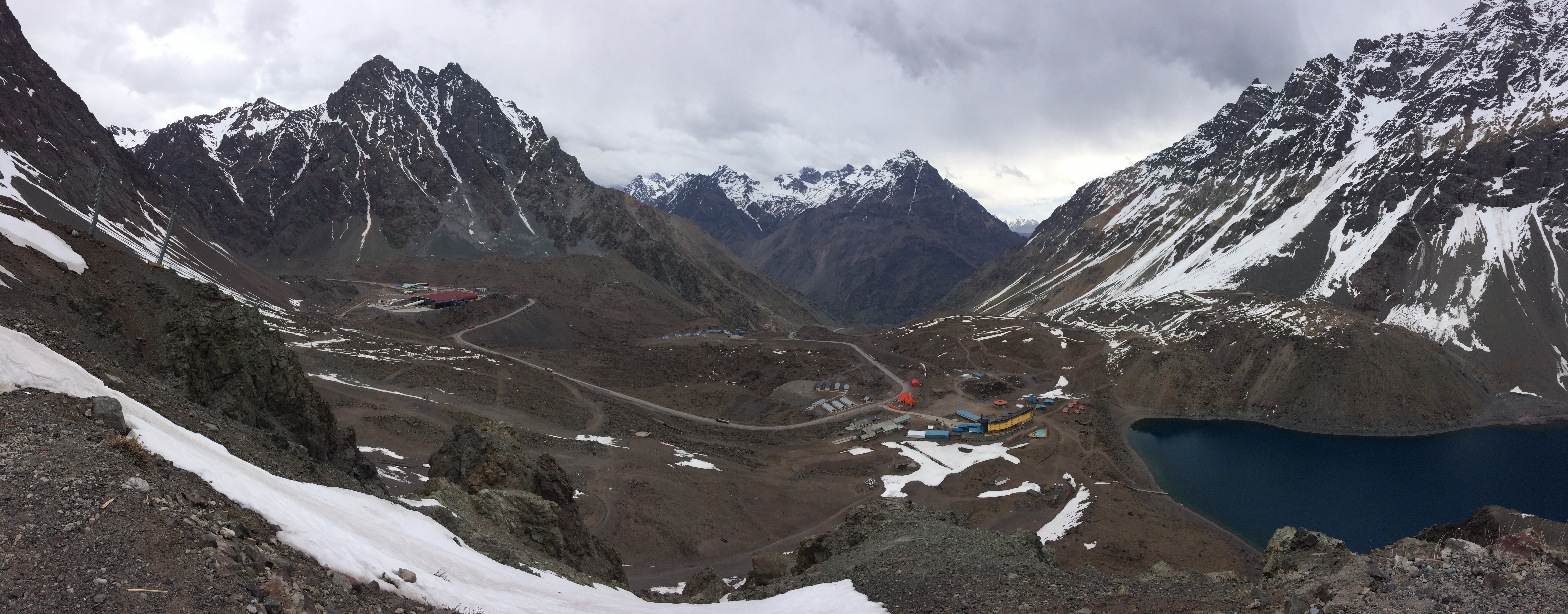
- Upper Diguillín and Upper Maipo research basins, Chile. James McPhee, Universidad de Chile, Chile
- Hydrological, meteorological measurements in the Djankuat research catchment. Ekaterina Rets, Water Problems Institute of Russian Academy of Sciences, Russia
- Advances in participatory hydrological monitoring in mountain regions. Wouter Buytaert, Imperial College London, United Kingdom
Day-2
- Global datasets to support hydrological modelling in alpine regions. Martyn Clark, University of Saskatchewan, Canada
- From measurements in the field to physically based modelling: openAMUNDSEN. Ulrich Strasser, University of Innsbruck, Austria
- Modeling shallow and ephemeral snow in Sierra Nevada, Spain. María J. Polo, University of Cordoba, Spain
- Development of the Canadian Hydrological Model (CHM) for multi scale snow simulations. Chris Marsh, University of Saskatchewan, Canada
- SnowMIP Model intercomparison update; update on ESA Alpine Regional Initiative AlpSnow. Richard Essery, University of Edinburgh, United Kingdom
- Integrating detailed representation of forest snow processes into the Swiss operational snowmelt forecasting model. Tobias Jonas, WSL Institute for Snow and Avalanche Research SLF, Switzerland
- Predictability of Alpine Snowpack: A case study in the Tuolumne Alpine Research Catchment. Ethan Gutmann, NCAR, USA
- Snowmelt-driven diel streamflow signal in the mountanious western US. Sebastián Krogh, University of Concepción, Chile
Day-3
- Glacier observation, long range laser scanning and high resolution atmospheric modelling at Hintereisferner in the Ötztal Alps, Austria. Rainer Princz, University of Innsbruck, Austria
- Modelling and observations at the Djankuat alpine research catchment located in the North Caucasus, Russia. Ekaterina Rets, Water Problems Institute of Russian Academy of Sciences, Russia
- Multi-scale snowdrift permitting modelling of mountain snowpack. Vincent Vionnet, Environment and Climate Change Canada, Canada
- Hydrological forecasts through ensemble modeling in the Andes Cordillera. James McPhee & Pablo Mendoza, Universidad de Chile, Chile
- Simulation of Hydrological Sensitivity to Climate Change in Global High Mountain Basins using Spatially Distributed, Physically Based, Cold Regions Hydrological Models. John Pomeroy, University of Saskatchewan, Canada
- Global changes in snow hydrology from virtual basins based on INARCH research network. Ignacio López Moreno, Spanish National Research Council (CSIC), España
- INARCH Phase II science plan, workshop closing and next steps. John Pomeroy, Ignacio López Moreno, James McPhee, & Chris DeBeer