Workshop Details
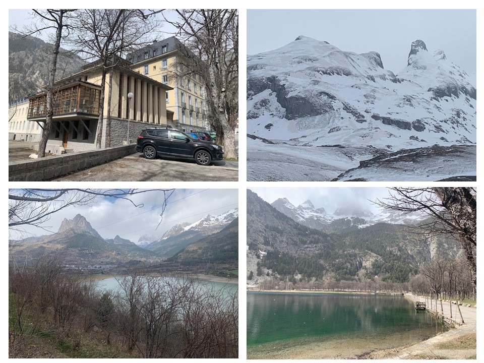
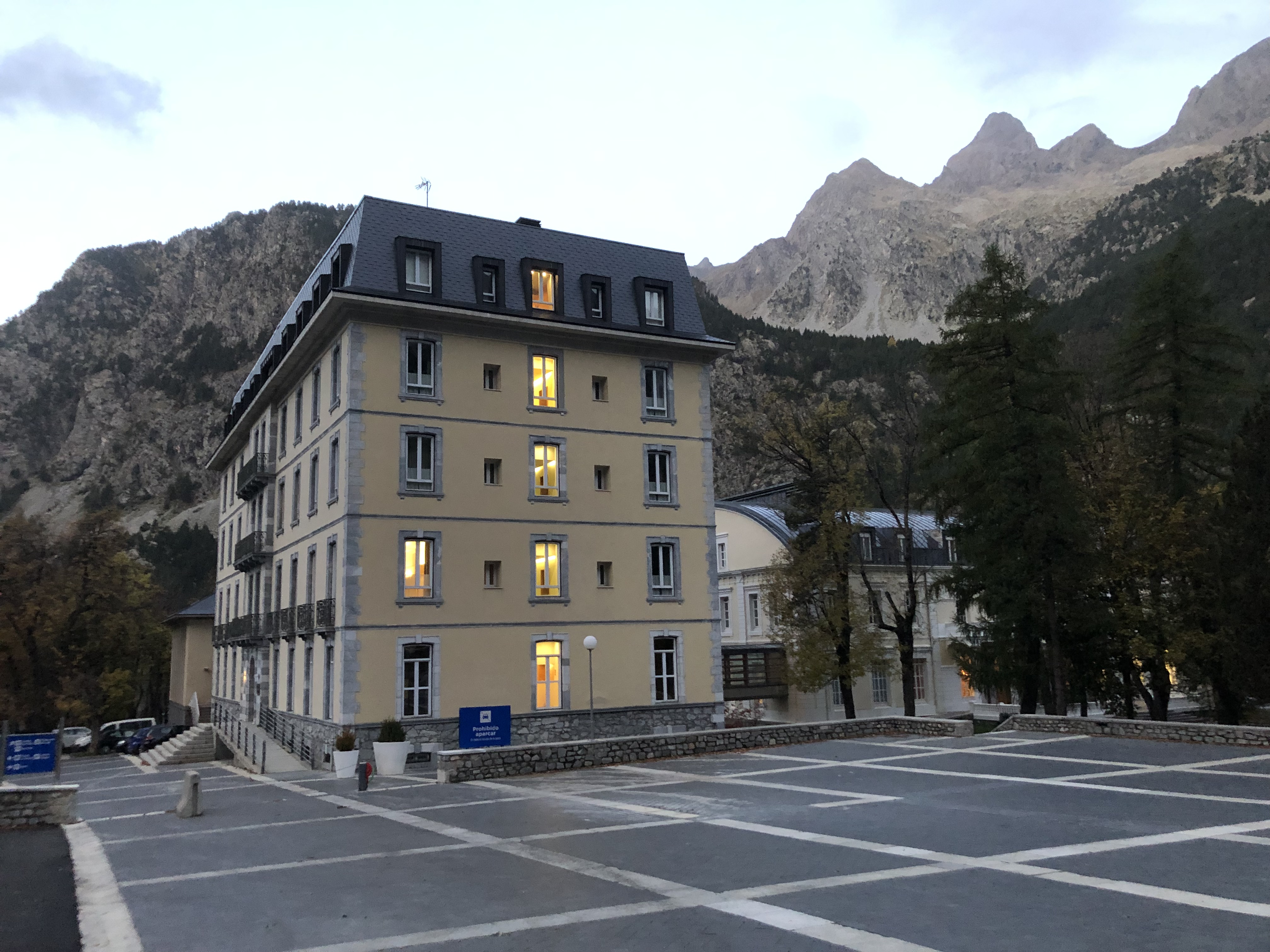
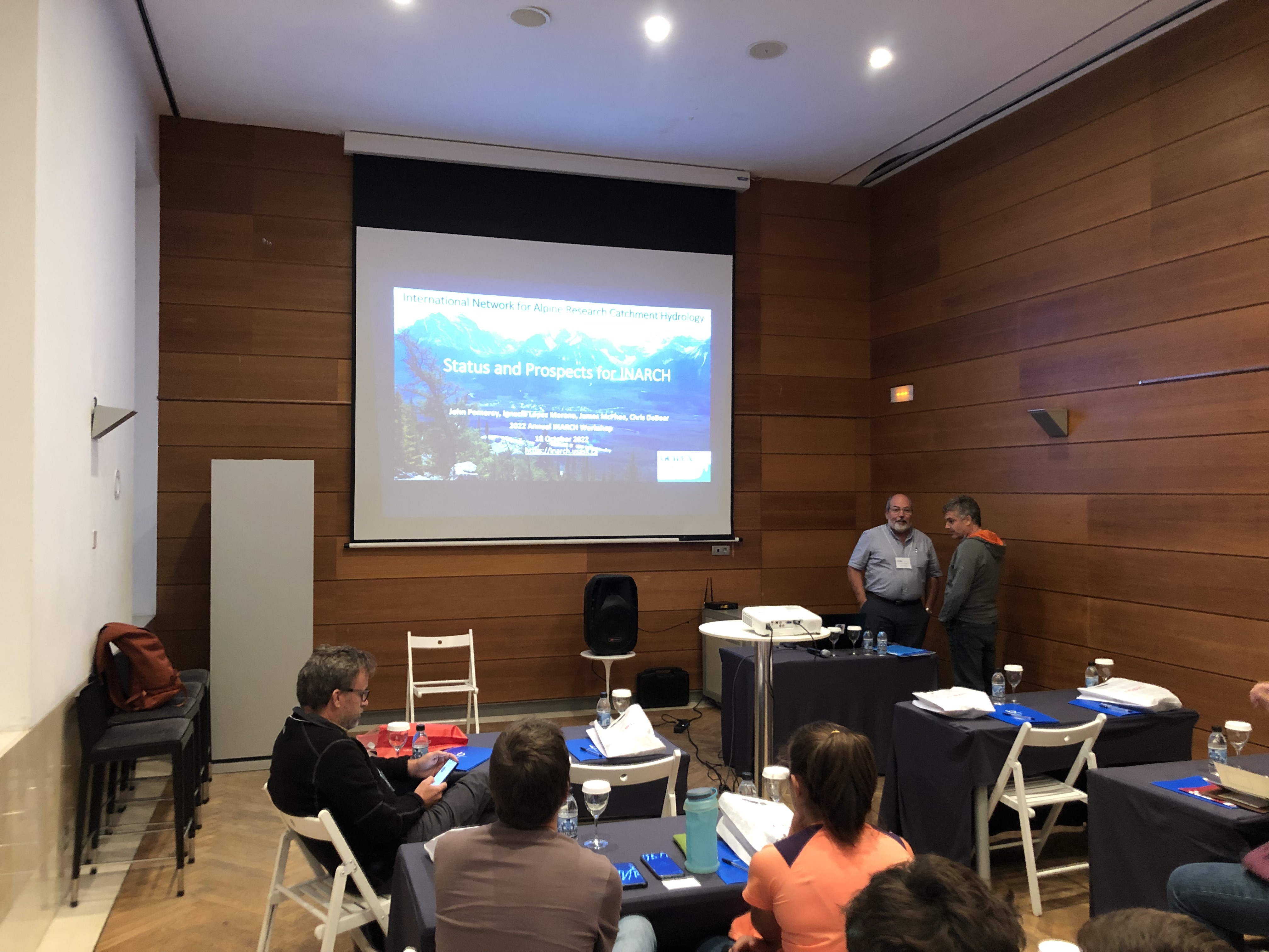
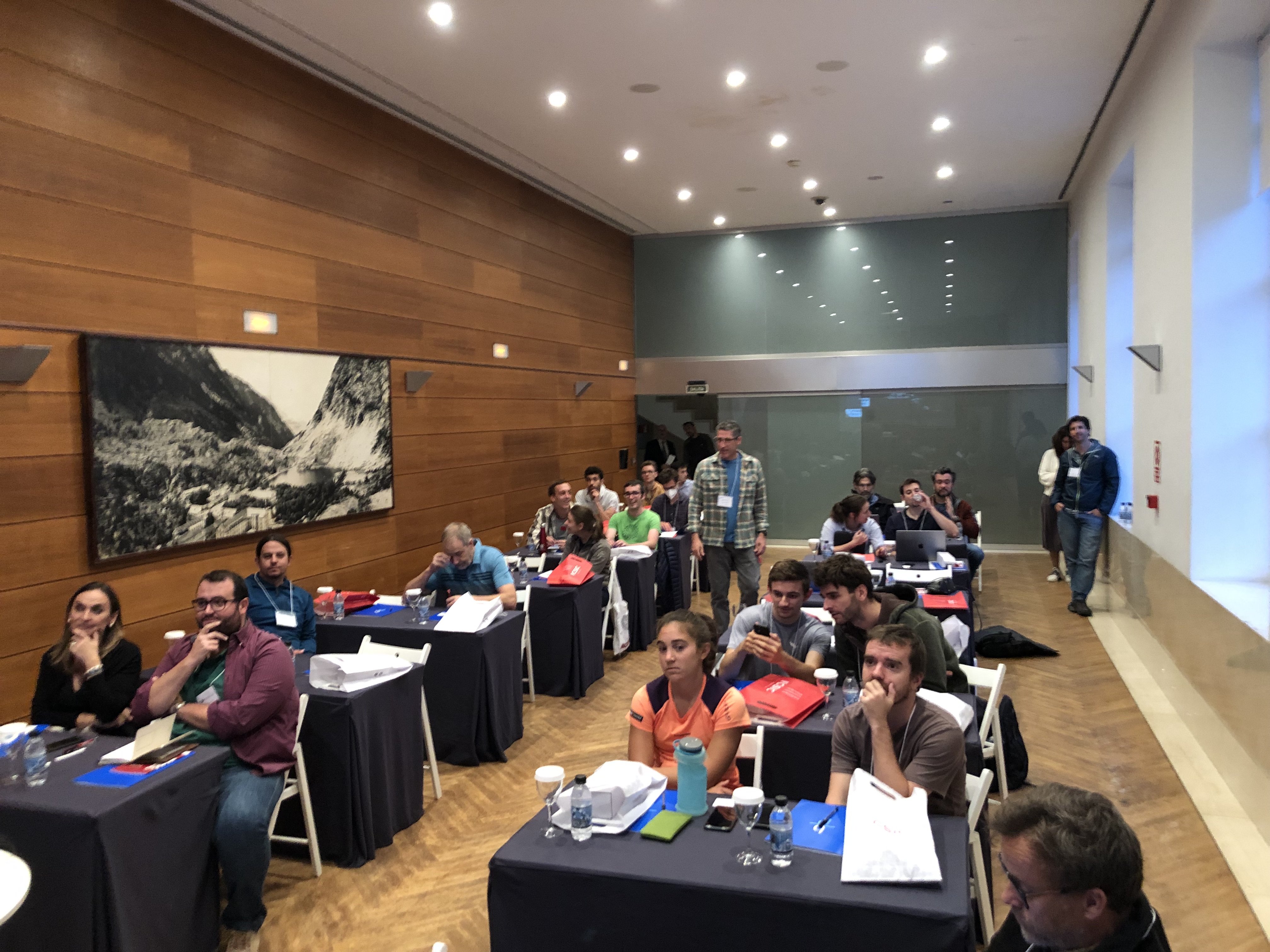
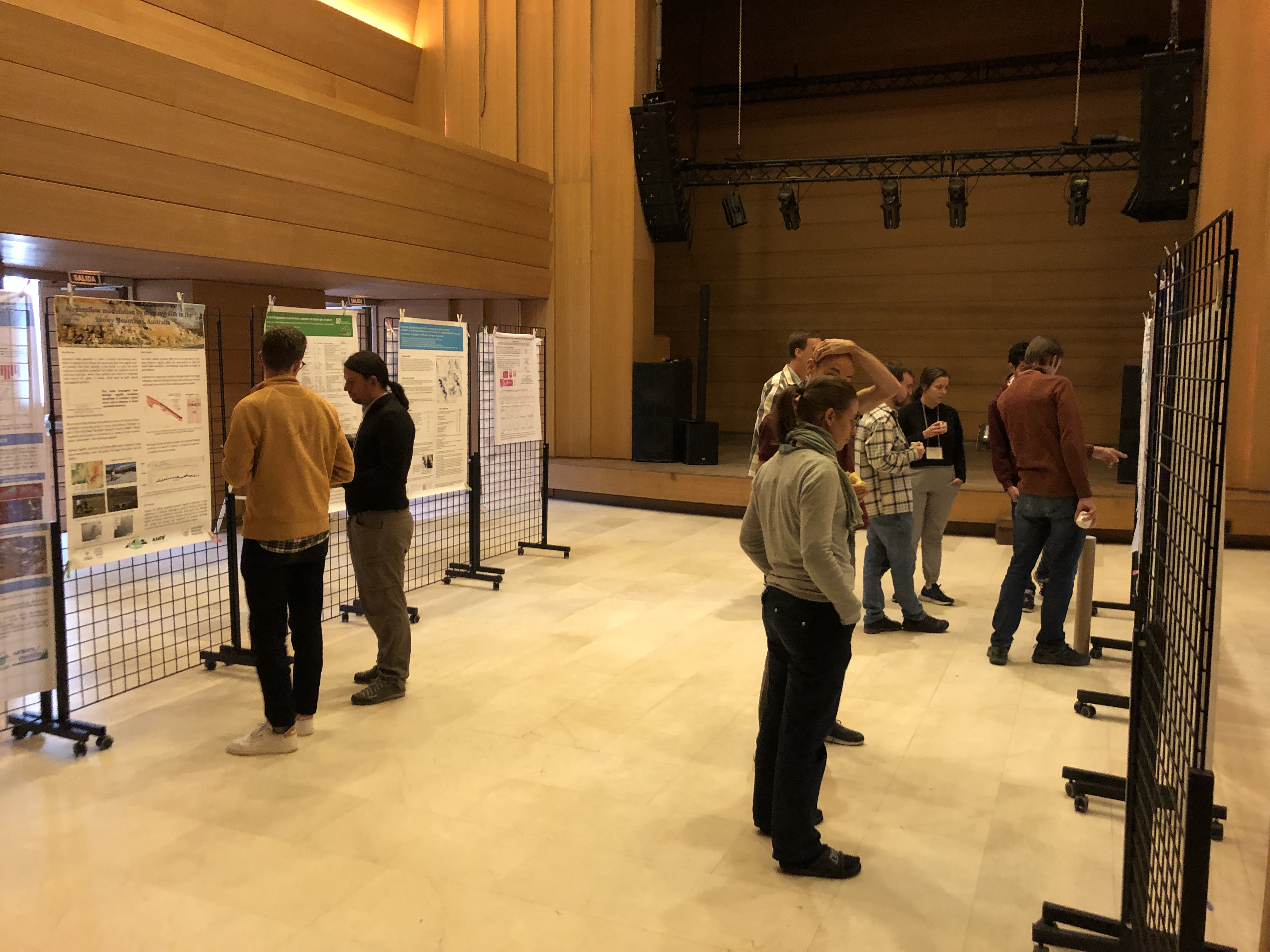
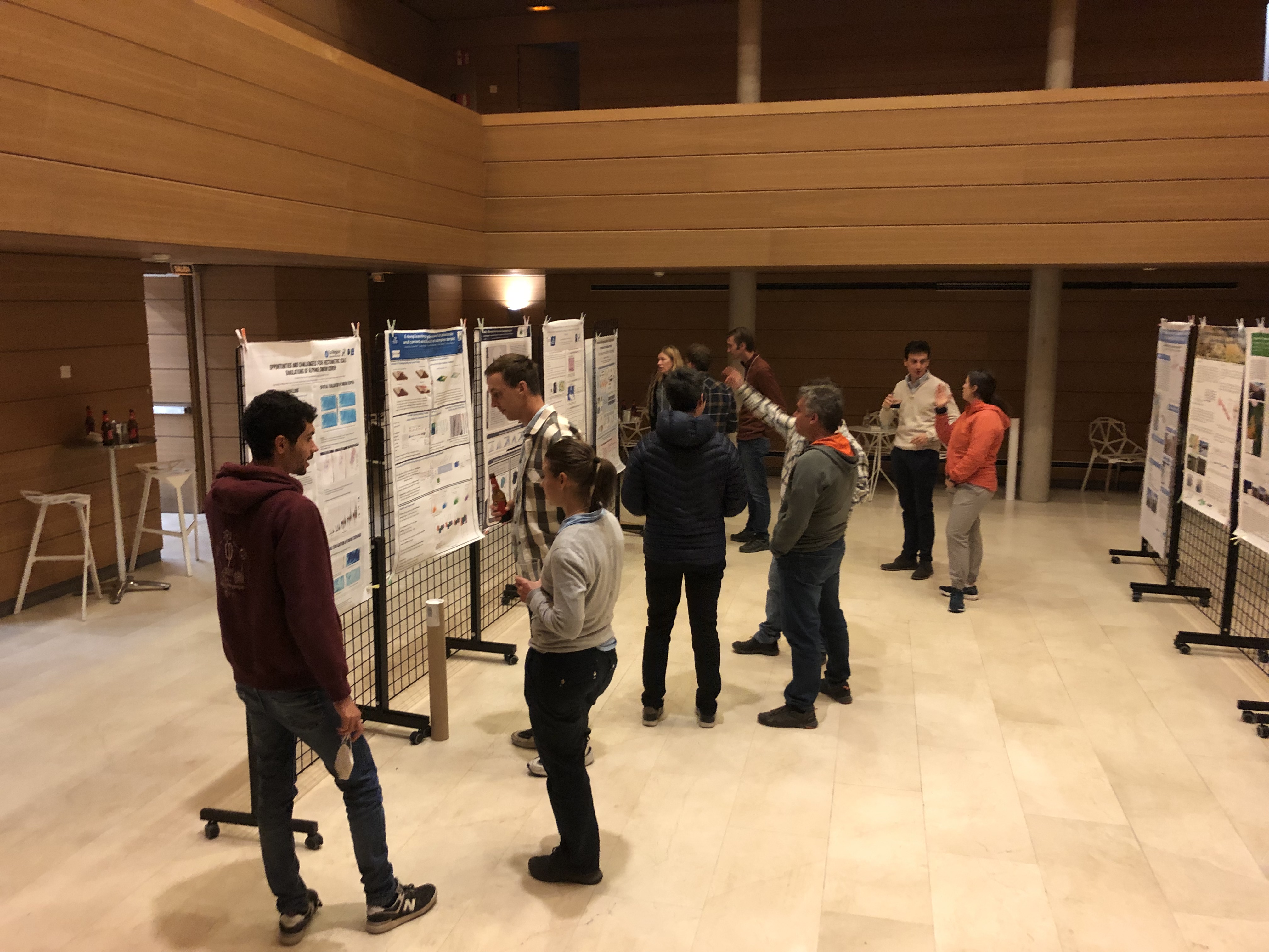
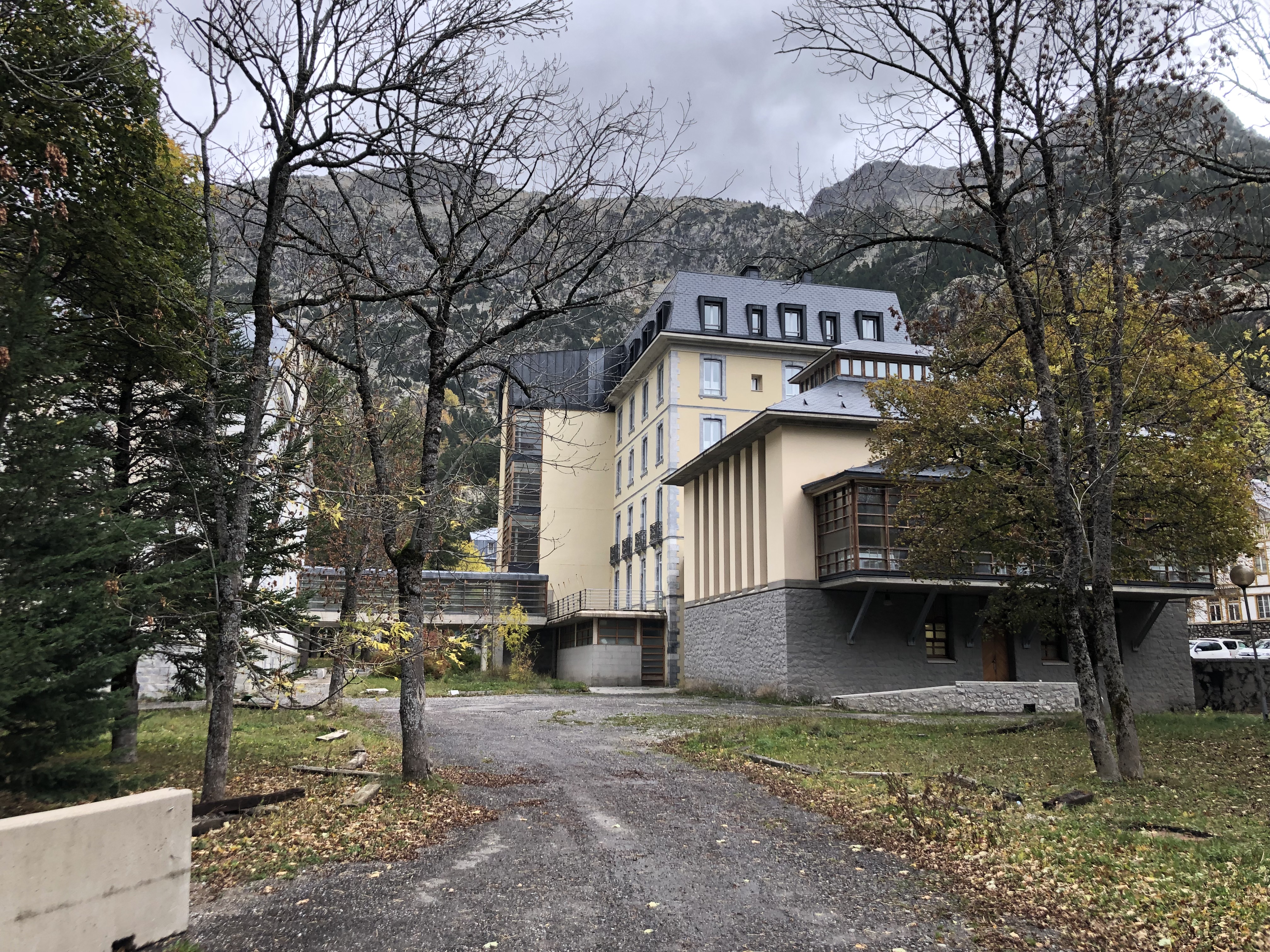
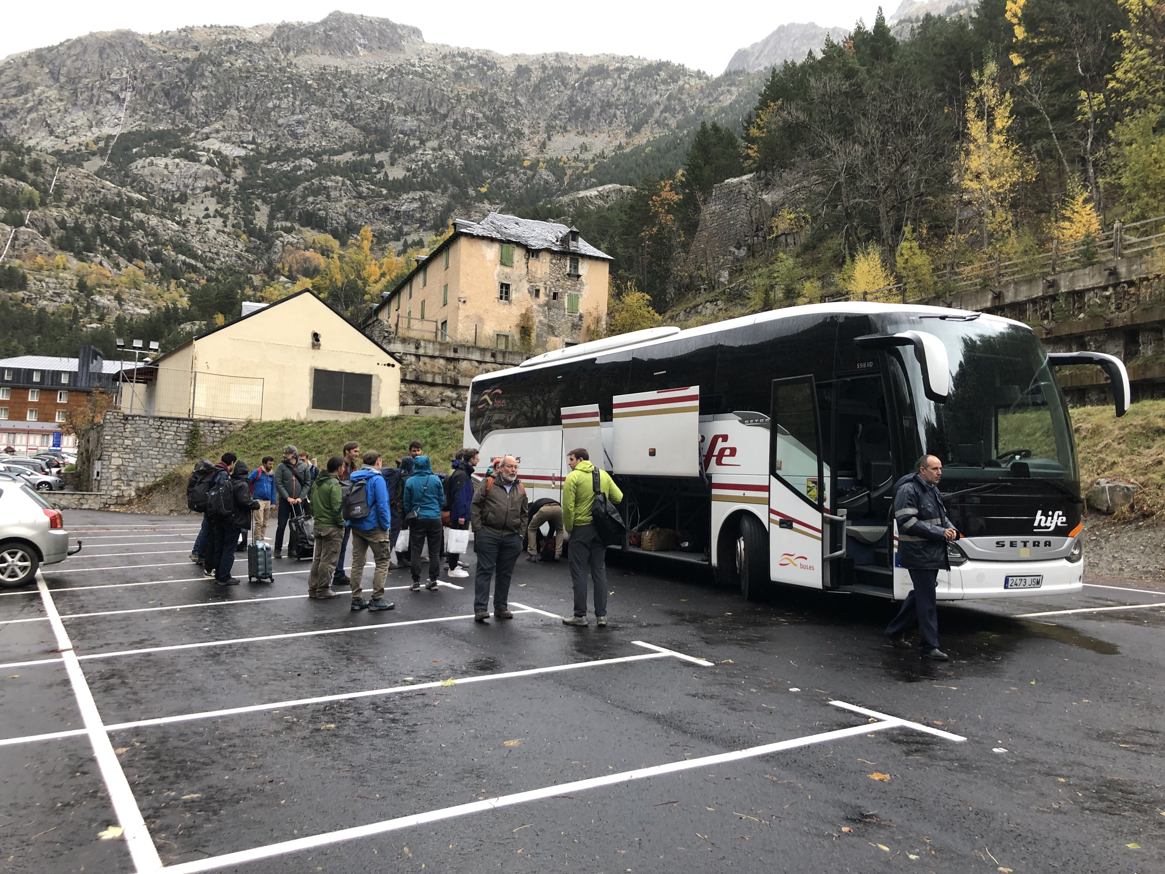
INARCH held the 2022 workshop in the Spanish Pyrenees at a small village called Baños de Panticosa (Panticosa hot springs) on October 18-20, 2022. This was the first time the network had been able to come together in-person since before the pandemic, and it provided opportunities to discuss and shape our activities for the second phase of INARCH.
The workshop was focused on INARCH Phase II Science Questions and activities.
- Workshop agenda
- Opening presentation and workshop introduction
- Closing, workshop summary, and INARCH 2022 statement
- INARCH update and workshop summary in GEWEX Quarterly News
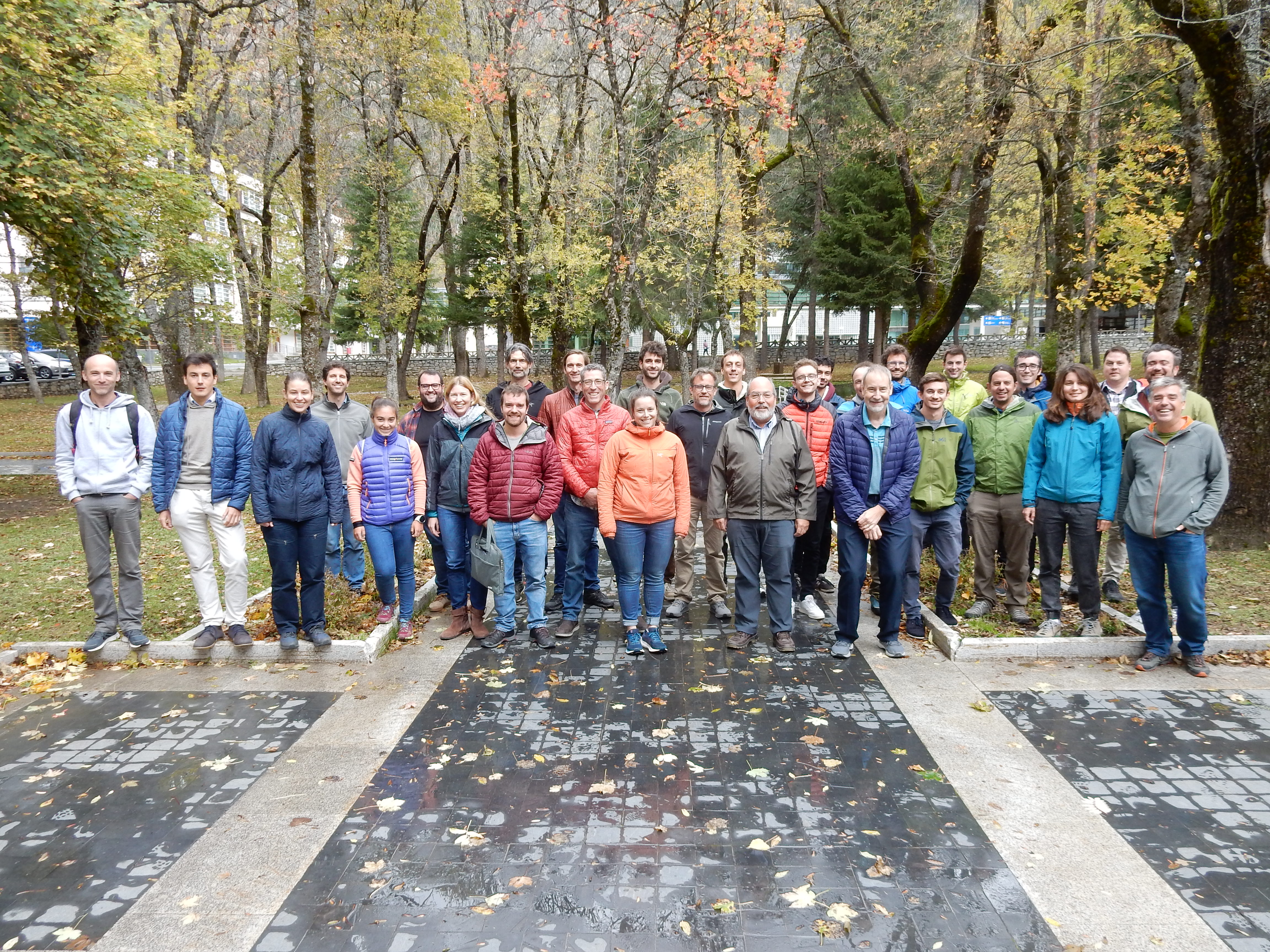
Participants of the 2022 INARCH workshop at Balneario de Panticosa Hotel in the Spanish Pyrenees.
Summary and INARCH 2022 Statement
Summary of Observatories and Measurement Techniques
- Advances in using isotopes to supplement hydrometeorological observations and diagnostic modelling, including model calibration and structural design decisions from isotopic data.
- Advances in satellite observations of snow depth, but limited to non-steep and non-forested sites. Density is still a challenge.
- Advances in field techniques to include basin-scale gravimetry, UAV LiDAR & IR, tower and terrestrialLiDAR
- Expansion of INARCH instrumented basins to all inhabited continents and new mountain ranges (Pamirs, High Atlas)
- Advances in reanalysis data in Andes, North America (historical)
- INARCH basins are starting or ready for COPE observing period
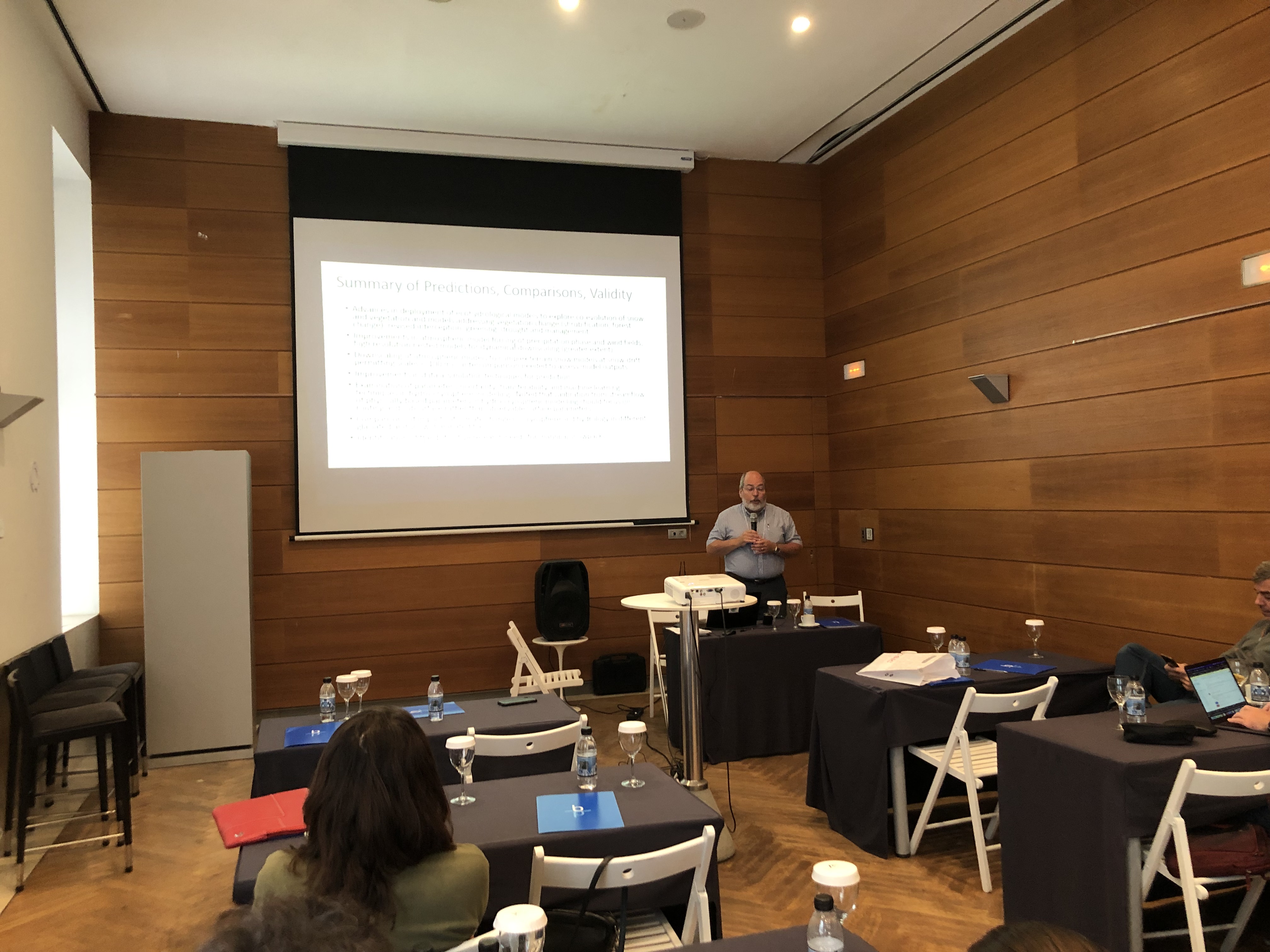
Summary of Predictions, Comparisons, Validity
- Advances in deployment of ecohydrological models to explore co-evolution of snow and vegetation and models addressing vegetation change (shrubification, forest change), revised interception, greening, drought and management
- Improvements in atmospheric model forcing of precipitation phase and wind fields, high resolution nested models for dynamical downscaling (greater extent).
- Downscaling of atmospheric models to complex terrain snow models at snow-drift permitting scales (<100 m) applied at continental scales – intercomparison and evaluation against satellite and surface observations are needed to assess model outputs. Standardized comparisons to areal metrics need to be developed.
- Improvements in data assimilation techniques for prediction.
- Examination of parameter uncertainty, transferability and machine learning techniques in hydro-cryosphere modelling. Noted that calibration from streamflow of physically based parameters in hydro-cryospheric modelling should focus on routing and subsurface rather than observable surface parameters (equifinality, self deception)
- Comparisons of impacts of climate change on cryosphere and hydrology in different glaciated and snow dominated basins show different sensitivities to climate change.
- Identification of the distinctive research needs for marginal snowpacks – e.g. ground heat flux
COPE and Data Management
- COPE represents a unique opportunity to implement, focus and accelerate model comparison and validation, observation comparison, and collaboration to compare process operation and model improvements on INARCH testbed basins.
- GWFNet data catalogue can help INARCH researchers find each other, papers, models, instrumented sites, data records, model outcomes.
- Need for INARCH researchers to provide information to Stephen for cataloguing.
- Keeping long term research basins going remains a continual challenge
- Specific COPE research projects need to be developed – same model for elasticity to change applied at different basins, observed response to extremes and climate differences, comparative eco-hydrology, new model testing?
- Plan for several papers from COPE analyses/comparisons and an overarching COPE data paper.
INARCH Statement 2022
We have
- begun Phase 2, started COPE,
- expanded investigators, observations, basins, mountain ranges, and models,
- implemented a data cataloguing system, snowdrift-resolving models continentally,
- explored new measurement techniques, data assimilation, parameter uncertainty and machine learning,
- started linking to ecosystems and downstream water resources;
- informed a proposed UN Year of Glacier Preservation and contributed to WMO, UNESCO, WCRP, UN Water Decade
We need to
- Develop detailed science investigations in COPE and ensure that it is used by other groups (WMO, intercomparison projects)
- Apply atmospheric/hydrological/other models to INARCH basins for the COPE period
- Co-develop plans to and share experiences on increase mountain community/regional science and decision making capacity
Presentations
Photos
 |
 |
 |
 |
 |
 |
 |
 |
 |
 |
 |
 |
 |
 |
 |
 |
