
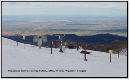
The Rheraya watershed is located in the High Atlas Mountains of Morrocco, with altitudes ranging from 1000 to 4167 m.a.s.l. (Toubkal summit, the highest peak in North Africa). The basin covers an area of 228 km2 with snow present at least three months per year at an elevation above 3000 m.
Further information
- Hanich, L., Chehbouni, A., Gascoin, S., Boudhar, A., Jarlan, L., Tramblay, Y., ... & Khabba, S. (2022). Snow hydrology in the Moroccan Atlas Mountains. Journal of Hydrology: Regional Studies, 42, 101101, https://doi.org/10.1016/j.ejrh.2022.101101.
- Boudhar, A., Boulet, G., Hanich, L., Sicart, J. E., & Chehbouni, A. (2016). Energy fluxes and melt rate of a seasonal snow cover in the Moroccan High Atlas. Hydrological Sciences Journal, 61(5), 931-943. https://doi.org/10.1080/02626667.2014.965173.
- Presentation at INARCH workshop 2022, Baños de Panticosa, Spain: Hydro-climatic observatory of the Rheraya watershed in the Moroccan High Atlas Mountains.